
History
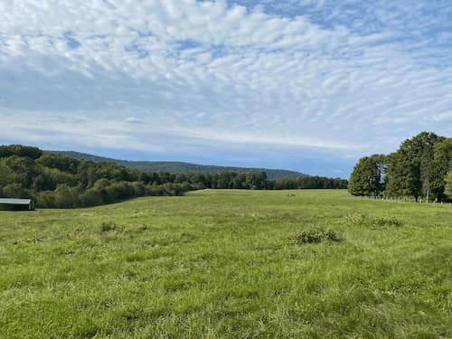
Rolling hills in the Ag Reserve.
Until World War II, farming was the primary industry in Montgomery County. But the county’s geographical location near burgeoning Washington, D.C., led to rapid growth in both residential and commercial development in the county in the years after the war. By the 1970s, farmland was being bought up and developed at a blazing pace.
In 1980, the Montgomery County Planning Board, the County Council, and farming and environmental advocates, created the Ag Reserve as part of a broader master plan for the county.
The Ag Reserve has served as a bulwark against development ever since. In 2001, for example, Virginia officials and developers launched a push for a bridge crossing the Potomac River into the Ag Reserve, with the intention of connecting the Northern Virginia tech corridor with I-270 in Maryland.
In partnership with other organizations, SCA vigorously opposed the move and won.
The idea was shelved. Unfortunately, from time to time, the Potomac bridge crossing threat is revived. A regional group, the Coalition for Smarter Growth, with which we collaborate, maintains watch and advocates for keeping growth in the county urban centers while preserving rural lands.

An SCA gathering at the Linden Farm Gothic Dairy Barn.
In 2005, a campaign dubbed “Celebrate Rural Montgomery” marked the 25th anniversary of the Ag Reserve.
The Ag Reserve’s guiding regulations do not prevent commercial development and affiliated economic growth on municipal land (in towns) within the Reserve and on and adjacent to the Ag Reserve. And certain businesses other than farming are permitted in the Ag Reserve. Generally, however, residential property on arable land covered by the Ag Reserve zoning regulations must be situated on 25 acres or more. Exemptions and exceptions exist for residential areas that were here when the Ag Reserve was created.
The Ag Reserve’s success also rests on a pioneering program that allows farmers and landowners in the Ag Reserve—unable to develop their own land due to the Reserve’s zoning regulations—to sell and transfer development rights for commercial and residential development on land in denser parts of the county. The program establishes what’s known as “transferable development rights” or TDRs. Each TDR covers 5 acres.
Many farmers have also elected since the 1990s to place their land in conservation easement programs, such as those established by Environmental Trust, the Potomac Conservancy, and the Sugarloaf Conservancy.

Sun setting over the Ag Reserve.
County policies and zoning regulations governing the Ag Reserve continue to evolve. Development pressures are unrelenting and every year new zoning measures are proposed. As one recent example, a zoning proposal to open portions of Ag Reserve farmland to solar power arrays spurred vigorous debate. A pilot program was ultimately enacted into law, with SCA’s support, that will test the development of solar arrays in the Ag Reserve while protecting arable farmland.